
Scotland's weather: Thunderstorm alerts with lightning forecast as gritters deployed due to heat

Two warnings issued for Thursday and Friday by Met Office
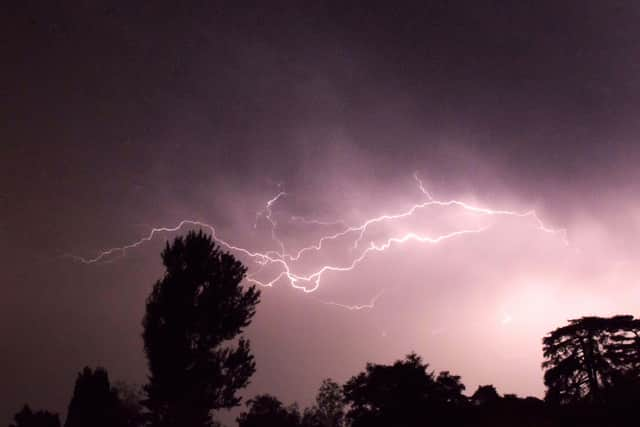
Extreme weather warnings for thunderstorms with frequent lightning, large hailstones and and downpours of up to 50mm of rain have been issued for Scotland.
The alerts were announced on Thursday morning as the country was expected to see its highest temperatures so far this year, peaking at about 30C in the south west.

A new provisional June UK temperature record of 36.4C was recorded on Thursday at Yeovilton in Somerset, a day after it reached 36.1C at Gosport, near Portsmouth in Hampshire.
Gritters were deployed by Scottish Borders Council to spread rock dust on roads in an attempt to prevent them being damaged by the heat, with some having to be closed such as the B6362 between Lauder and Stow.
Its spokesperson said: “When temperatures soar, heat can cause the bitumen within the road structure to rise to the surface, creating a shiny black sticky appearance.
“When heavy vehicles drive over this softened surface, the bitumen is squeezed out and the underlying aggregate can be displaced, leading to deep ruts and permanent damage to the road surface.”
“To protect the network, gritters are currently being deployed across the region applying whin [rock] dust to affected areas.”
Several Avanti West Coast trains between Glasgow and London were cancelled or disrupted because of a speed restriction between Motherwell and Carlisle caused by the heat.
An unprecedented third red extreme heat warning for consecutive days was announced by the Met Office for Friday for much of Wales, southern England and the Midlands.
The first yellow thunderstorm warning covers the north and north west from 3pm on Thursday, followed by a second for the whole of Scotland apart from Shetland for the whole of Friday.
The agency said: “Rain will become heavier, more persistent and more widespread during Thursday afternoon and evening with thunderstorms then potentially also developing in some places.

“Rainfall amounts will be highly variable, but narrow corridors of 20-30mm falling in one hour and potentially 30-50mm in three hours is possible.
“Frequent lightning, large hail - 2-4cm in diameter - and locally gusty winds with stronger storms.”
The second warning is expected to bring similar conditions.
The Met Office said: “Spells of heavy rain and thunderstorms initially over north west Scotland are likely to become more widespread during Friday morning.
“Further thunderstorms and spells of heavy rain are possible in the afternoon before becoming confined to more northern areas of Scotland later in the day.”

Cross-Border train passengers were urged not to travel unless absolutely necessary for a second day on Thursday because of the red heat warning, which has been extended to 9pm on Friday.
A lesser amber warning which has covered most of Wales and all but the north of England since Wednesday will also continue until Friday before being confined to south east England and East Anglia on Saturday.
A provisional record highest overnight minimum temperature for June was recorded of 23.5C at Bute Park in Cardiff on Wednesday night.
Charterhall, near Coldstream in the Borders, had one of the longest spells of sunshine in the UK with 15.7 hours.
Comments
Want to join the conversation? Please or to comment on this article.